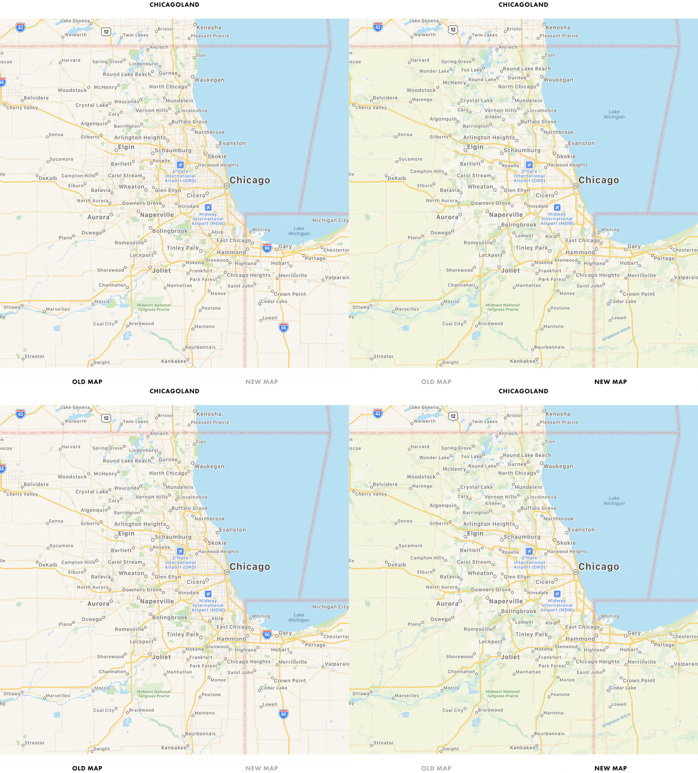
Yesterday, Apple Maps received its biggest US update by area yet, encompassing several states in the Midwest and West. Along with it, came a comprehensive update from Justin O’Beirne, who has been chronicling the updates since they began.
Apple started rolling out new, more detailed maps of the US in September 2018 and said at WWDC this year that the new maps would cover the entire US by the end of 2019. With the latest update, which is the sixth, only the Southeast and Central states, Alaska, and a few other areas remain un-updated.
According to O’Beirne’s post, Apple’s new maps now cover over 50% of the US by area and two-thirds of its population, including the country’s ten largest cities. Although almost half of the US by area has yet to have its maps updated, the accelerated pace of updates, suggests to O’Beirne that it is possible the remaining parts of the US may still be completed before the close of the year.
In addition to dozens of GIFs with side-by-side comparisons of the old and new Apple Maps for different regions of the US, O’Beirne goes into detail on the changes Apple has made to identifying roads, parks, and other landmarks at different zoom levels. It’s a fascinatingly in-depth analysis that suggests that Apple has increasingly automated its map creation process.
Be sure to check out O’Beirne’s post for all the details and the many GIF comparisons.


